As rain was forecast for the this morning we decided to go and do a little shopping in Wigan as Helen had one or two things on a list she needed. After a couple of hours we had ticked off the whole list and got a meal deal from M&S to boot. Unfortunately we passed the Wigan Central pub before opening so it will have to wait until next time to get my shilling or two.
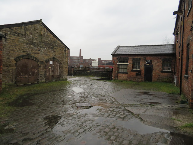


We got back to the boat by Trencherfield Mill via the C&RT Offices yard. Actually I don't think this was them so they must be in the Mill itself. However this little yard has old British Waterways signs up. It would make a nice little complex if the concrete surface was taken up and the cobbles replaced.

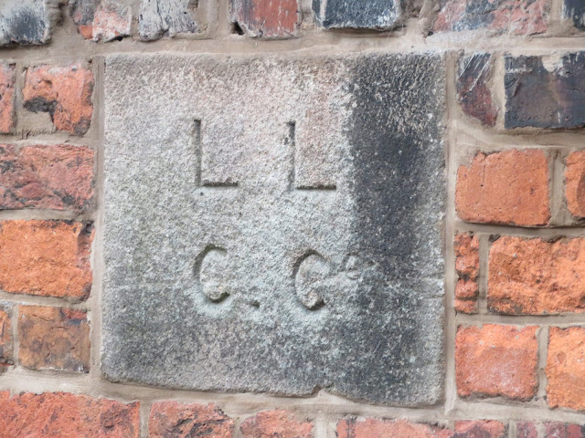
In fact this stone in the wall reveals that the workshops etc predate even British Waterways.

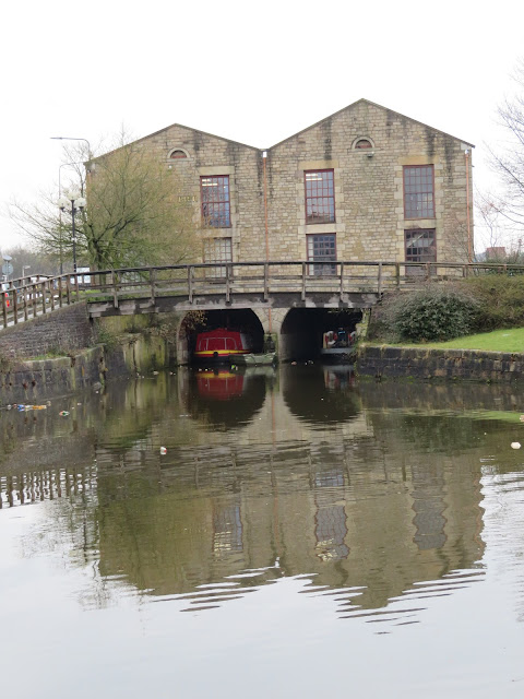
After we had had our lunch the rain had stopped, but the sun didn't come out. We pulled the boat back to the water point and filled up before setting off once again. This started with a reverse through Pottery Bridge, and I am pleased to say that no contact was made today. I must be getting my eye in. Just through the bridge is the old covered warehouse that was originally built for the LLCC in 1777 and rebuilt in 1984. It is home to the Kittiwake Cruise boats and various offices now.

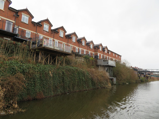
As C&RT are re-branding so as to be 'owned' by users who are not boaters, I wondered about the many canal side premises that have extended their gardens right to the waters edge to make use of the canal view. In the above photo they have spent some money to double the size of their garden. It is a shame that there is no way that C&RT can recoup some of the added value to the homes that are by the canal, that would probably go down if it was a stinking morass of rubbish and not navigable!

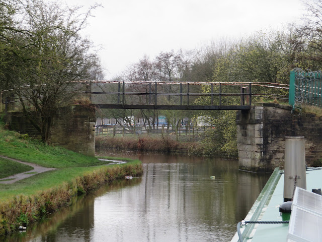
This bridge could be on the Wryley and Essington Canal, another area that has suffered from mining subsidence.

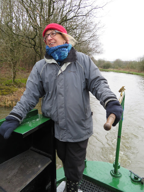
Helen enjoying her first stint on the tiller, but still dressed for working in the fridges at Iceland.

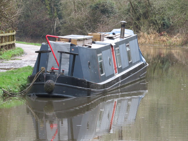
Near Appley Bridge we passed this boat. From a distance I thought it had somehow broken its back and had sunk.

When you get closer it doesn't seem such a pronounced angle to the hull but I don't remember seeing anything like this before. If this is deliberately built like this, why?

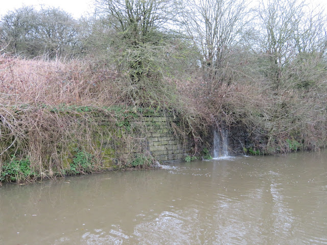
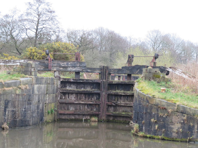
When we passed through Appley Locks the other day there appeared to be some inspections going on. I have often thought it is a little risky to have the canal pound held back by a couple of old locks. It is obvious the arm is leaking down to the lower level. The same situation is at Dean Lock near Gathurst, but that is only one lock holding the water back.

With gates in this state surely it is a little risky.

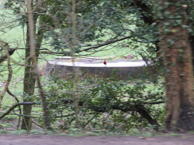
In the fields between the canal and the River Douglas are several circular concrete structures that seem to be in a line, but not equidistant. I wondered if they were old bell pits or even coal pit shafts, but I can't really match them up with old mines. Besides they would be obviously very wet too. Anybody and ideas?

I had thought that these white markers on bridges on wide canals were a new thing painted by 'amateur helmsmen to prevent them scratching their paintwork. However when looking at old postcards of the Leeds Liverpool canal from the later 1800's they are marked in then, so obviously professional boatmen used it to prevent damage and embarrassment. Nothing ne in the world is there.
No comments:
Post a Comment